
All social security and welfare fund pensioners whose pension was sanctioned before 31st December, 2025 are required to do mustering through Akshaya Kendra from 17th July to 30th September, 2026

Panchayth

A Panchayat is the foundational system of local self-government in rural India. Derived from the Sanskrit word for "five" (panch) and "assembly" (ayat), it traditionally represented a council of wise elders who settled village disputes. Today, it is an institutionalized democratic body responsible for village administration and grassroots development.The Three-Tier SystemIn India, the Panchayati Raj system generally operates on three structural levels, ensuring decentralized power.Gram Panchayat (Village Level): The base tier, governing a single village or a group of small villages. Its members (Panchs) and head (Sarpanch or Pradhan) are directly elected by the villagers.Panchayat Samiti (Block Level): The intermediate tier that operates at the tehsil or block level. It serves as...

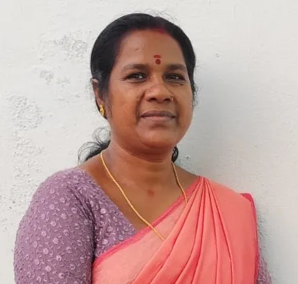
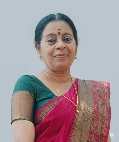
JAYANTHI T

President

Sujatha k

Vice President & Chairman Standing Committee for finance

Muhammed Ali

Chairman, Standing Committee for development

Priya P

Chairman,Standing Committee for Welfare

Abdul Anees

Chairman,Standing Committee for Health and Education

Ambili M

Secretary, Grama Panchayat

About Us

Thrithala at a Glance

Thrithala Grama Panchayat is situated in the Thrithala Block of Pattambi Taluk, Palakkad District. It is one of the panchayats located along the western border of the district. Spanning an area of ​​22.78 square kilometers, the panchayat encompasses the villages of Thrithala and Pattithara. The Bharathapuzha River flows along the northern boundary of the Thrithala Grama Panchayat, with the riverbank stretching for approximately 6 kilometers. Its boundaries are defined by the Bharathapuzha River to the east, Pattithara Panchayat to the west, and Nagalassery and Thirumittacode Panchayats to the south. Thrithala lies in the midland region, with an elevation ranging from 8 to 75 meters above sea level. The central part of the area is elevated, sloping down towards both the north and the south; the southward slope is gradual, whereas the northward slope is steep. Approximately 20% of the area consists of high ground. Elevated plateau-like areas include Chiniparakkunnu, Thacharakunnu,...

Read More
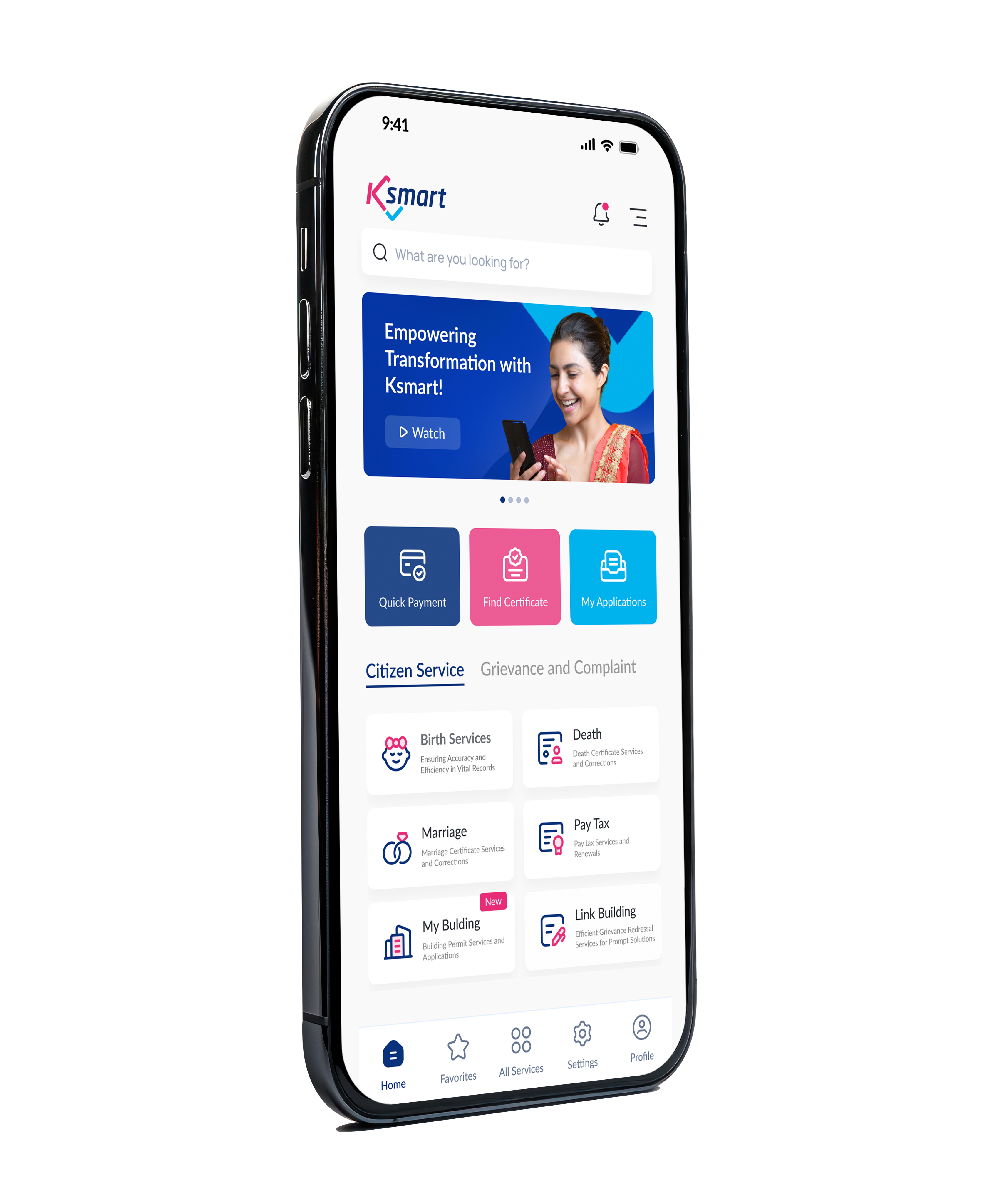
K-SMART App

K-SMART - Mobile App

Download Now

decorative icons

Socio-Cultural History

News

Featured Image

September 11, 2026

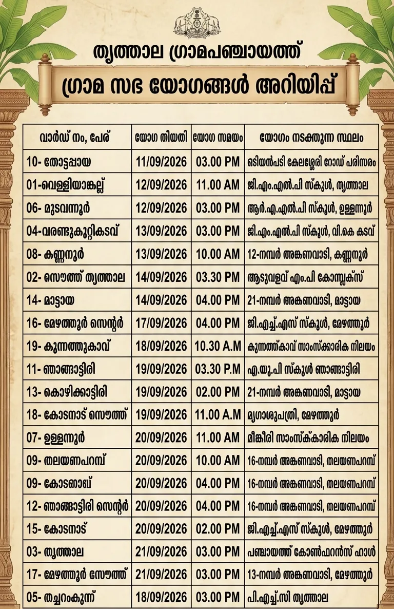
Trithala Grama Panchayat Grama Sabha Details

Trithala Grama Panchayat Grama Sabha Details

Latest News